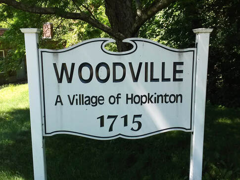
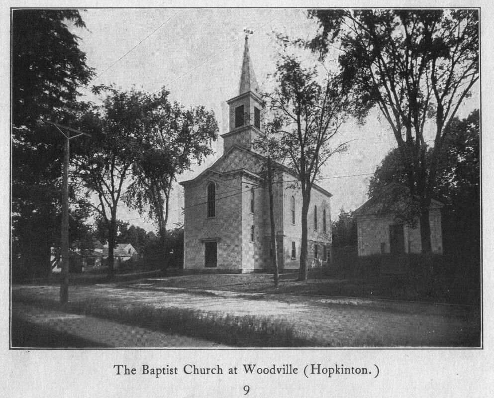
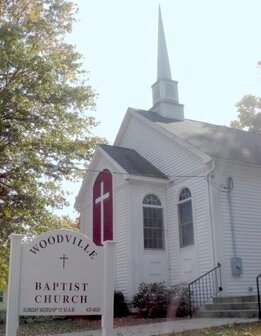
HISTORY OF WOODVILLE

*An excerpt from Wikipedia on the village of Woodville within town of Hopkinton, Mass.*
"The village of Woodville has retained its distinctive village atmosphere and strong architectural connection to Hopkinton's industrial development and growth from the mid-to-late 19th century. The area was an early cotton clothmaking center and the site of a major shoe factory. When Boston seized Lake Whitehall for its water supply in 1894, the factories along its shores were closed or moved to other sites, as they were considered sources of pollution. Remaining factories and other buildings were destroyed in a fire in 1909. In the 18th century, it was an agricultural area with a few farms scattered north of the much smaller Lake Whitehall and its accompanying cedar swamp, and was the site of a grist mill on Whitehall Brook as early as 1714.
At one time, it was believed that the waters flowing from the large swamp south of Pond St., under Pond St. and into Lake Whitehall contained magical healing powers. As a result, the area quickly was built up as a resort area. Visitors came by stagecoach to the Hopkinton Hotel, which was located between Pond St. and the lake. The mineral baths and their powers lured the visitors to the area. The baths can still be viewed by the edge of the stream that drains from the swamp."
*The following is an article written by Taryn Plumb that was published in the Boston Globe on Dec. 10, 2009.*
"LITTLE REMAINS OF HOPKINTON'S EARLY 19th-CENTURY RESORT OF HEALING WATERS"
By Taryn Plumb, Globe Correspondent
WOODVILLE, Mass. -- The narrow path, crowded by pines and birches and carpeted with brown needles, runs like a seam between two houses. It stretches to a clearing and a wide, moss-covered bridge that spans a trickling brook.
Once the site of a nationally renowned attraction, the location is now a faded imprint from Hopkinton’s past.
Almost two centuries ago, long before it became a tidy suburb, Hopkinton was a premier resort destination.
For nearly four decades in the early 1800s, the Hopkinton Springs complex lured prestigious visitors from all over the country and beyond. Presidents, senators, millionaire businessmen, high-society types - they all came to bathe in or drink from its trio of mineral springs known for their mystical healing waters.
As celebrated as the spa was, though, hardly any signs of the once-flourishing operation remain visible for modern visitors. The springs are lost; the resort buildings razed and burned.
“It’s like a haunted site,’’ said Russ Greve, curator of the Hopkinton Historical Society.
As the tale goes, in 1815 a tornado and electrical disturbance known notoriously as “the great blow’’ ripped up trees and bulldozed all manner of buildings, including a sawmill owned by Joel Norcross.
When the raging storm abated and the calm returned, Norcross set to rebuilding his mill, and in the process came upon three springs, all within a short radius. Tests from a Boston doctor found them to be rich with magnesium, iron, and sulfur.
Norcross deserted the hard, dangerous labor of operating a sawmill, instead opting for a more extravagant vocation.
He immediately began entertaining visitors, and erected a 39-room, four-story luxury hotel that accommodated up to 100 guests, according to the writings of local historian Gordon E. Hopper. It was also outfitted with a network of balconies, bowling alleys, and a dancing hall. Elsewhere, there were gazebos, and a grotto where water from the springs was served from faucets.
At the wells tinged with iron and sulfur, shelters were raised and guests were provided with seats and drinking cups.
The magnesium spring, though, was granted the most prominence.
The largest of the three, it was accented by a large bath house and a stone fountain. To make its waters more comfortable for bathers, it was also heated by a system of flues and conduits, according to Gail Clifford, an amateur historian who has researched this lavish bit of her hometown’s past.
“He saw something natural and said, ‘I can capitalize on that,’ ’’ Clifford said of Norcross. “He created an economy, made the lake a little special.’’
The key selling point: healing. The waters that gushed forth were publicized as “impregnated with minerals of great medicinal value.’’
The marketing plan worked.
Visitors arrived in throngs. First by horse-drawn coach, according to Hopper, then by rumbling steam engine after the Boston & Worcester Railroad reached Westborough in 1834.
There were pilgrimages from every New England state, as well as New York, Virginia, South Carolina, Kentucky, Louisiana, and Texas, according to a copy of the hotel log kept in the Hopkinton Public Library’s archives. (The log cites a few curious locales, too, including “Phillidophia,’’ “Cincinniata’’ and “Jerasalem.’’)
Lore fueled this renown. One story recalled how a man in the early stages of “consumption’’ (tuberculosis) took a dip in the springs and came home “completely cured,’’ as described in John Hayward’s 1839 New England Gazetteer.
“It put us on the map,’’ Greve said of Norcross’s enterprise. “It was a destination.’’
And the guests, accordingly, included some of the most distinguished of their time - and icons of ours.
On Sept. 27, 1834, for instance, President Andrew Jackson purportedly made a visit, accompanied by his vice president and successor, Martin Van Buren (the mysterious phrase “O how mad he would be’’ accompanying their names in the log).
Also making appearances were longtime US senator and secretary of state Daniel Webster, who felt the need to remind those reading the register that he was “from Washington,’’ US Attorney General Ebenezer Rockwood Hoar, and Edward Everett, Massachusetts governor and US senator.
There was a rotating assembly of aristocrats and hoi polloi, too: The log has Forbeses, Grants, Starkweathers, Varneys, Hurds, and Barkers dishing out $1 per day or $10 a week.
And in the records, they gushed about the price - “25 cents for a bath (well worth the money)’’ - and lamented leaving: “My stay is short.’’ Female companions, meanwhile, were typically left anonymous, and listed like pieces of baggage: Benjamin Richardson, for example, came with his “wife and mother, daughter and cousin,’’ while “E.B. Fay & 6 Ladies’’ and “S.H. Brown & 4 Ladies’’ arrived on the same day in July 1835.
Other guests hid behind pseudonyms, or vagaries: “Icabod Crane’’ came from “Capertown,’’ “Uncle Joshua’’ made the trek from “Way Down East,’’ and “Nameless and his lady’’ visited from “Nothing town,’’ all in the summer of 1836.
But such visitors, if arriving today, would be surprised to find their destination is the “nothing town.’’
After the hotel abruptly closed in 1859 - Norcross, it was said, was bankrupt, in ailing health, and crushed by the recent loss of his wife - the property was sold, and it fell into neglect; the outbuildings were razed, and the hotel ultimately destroyed by fire, according to numerous accounts.
Today, all that remains is a scattering of unusual formations and bridges in the woods, and fragments of history in newspaper articles and research papers. There are no known original pictures or documents.
Meanwhile, the springs, if they still flow, are no longer visible. They may have been engulfed by the rising lake waters when Whitehall Reservoir was established, surmised Don MacAdam, the town’s conservation administrator. However, their ultimate fate is uncertain; neither the state Department of Conservation and Recreation nor the town’s Conservation Commission has researched whether they still exist.
Still, Clifford noted, it’s obvious that the topography of the once-prosperous site was altered dramatically as the days tumbled over days, the decades flowed over decades: “The land, the water, the springs changed.’’


